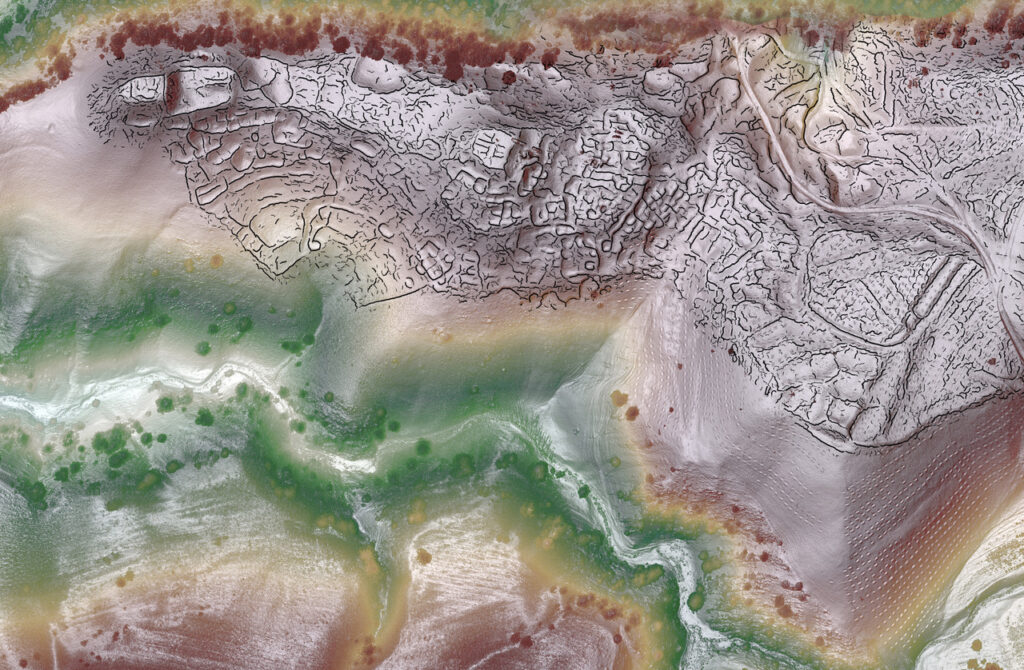
The first-ever use of cutting-edge drone-based lidar in Central Asia allowed archaeologists to capture stunning details of two newly documented trade cities high in the mountains of Uzbekistan.
A team of researchers led by Michael Frachetti, professor of archaeology, and Farhod Maksudov, director of the National Center of Archaeology in Uzbekistan, used drone-based lidar to map the archaeological scale and layout of two recently discovered high-elevation sites in Uzbekistan. The medieval cities are among the largest ever documented in the mountainous parts of the Silk Road, the vast network of ancient trade routes that connected Europe and Eastern Asia.
Images and details of the discovery were recently published in Nature. Co-authors include Jack Berner, a graduate student in the Department of Anthropology; Edward Henry, an assistant professor of anthropology and geography at Colorado State University and WashU alum (PhD ’18); Tao Ju, a professor of computer science and engineering in the McKelvey School of Engineering; and Xiaoyi Liu, a graduate student in the McKelvey School of Engineering. The expedition was supported by the National Geographic Society.

The drone-lidar scans provided remarkably detailed views of the plazas, fortifications, roads, and habitations that shaped the lives and economies of highland communities, traders, and travelers from the sixth through 11th centuries in Central Asia. The two cities are located in rugged terrain 2,000 to 2,200 meters above sea level (roughly comparable to Machu Picchu in Peru), making them unusual examples of thriving mountain urbanism.
